Our models cover the entire energy value chain and work interdependently to answer any “what if” scenarios based on your organization’s specific needs. We turn data into meaningful insights to help energy players around the world identify opportunities, mitigate risk, and validate their business strategy.
Fuel strategic decisions with powerful analytics
Intelligence across the energy value chain

Energy Demand
Understand the major trends shaping global energy demand with specific insights on transport, industrial, buildings, and power sectors.

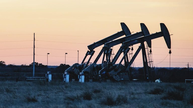
Upstream
Navigate complex global economic and political factors, and understand their impact on oil demand, supply, and pricing dynamics.

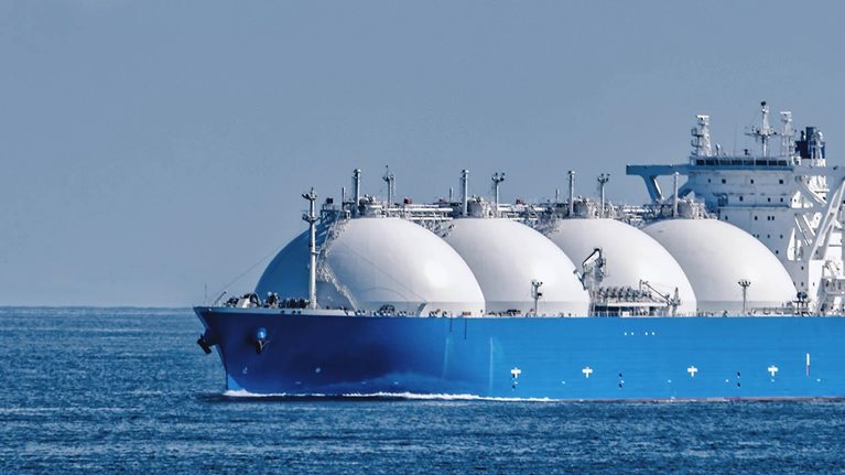
Gas & LNG
Access a comprehensive view on global gas and liquefied natural gas (LNG) markets, which includes real-time insights on flows, fleet and plant utilization, and storage levels.

Downstream
Gain insights on how changes in oil price, regulations such as MARPOL, and developing economies will impact refining utilization, crude and product balances, and trade flows.

Sustainability
Understand the emerging technologies and business models that are steering the energy transition.

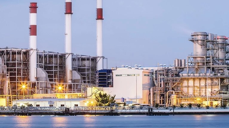
Electric Power
Improve performance and reduce costs by unlocking the value of digital and advanced analytics.
Our capabilities
Energy market modeling and data
We provide strategic and tactical market intelligence services, access to distinctive energy market modeling, deep market insight, and proprietary data in the fields of energy markets and energy transition.
Consulting engagements
From the C-suite to the front line, we partner with clients to help them build sustainable businesses and achieve lasting gains in performance, that will thrive for this generation and the next.
Bespoke market reports
For clients interested in bespoke market reports based on our demand and supply capabilities, we offer customized reports on a one-off or periodic basis.